Services
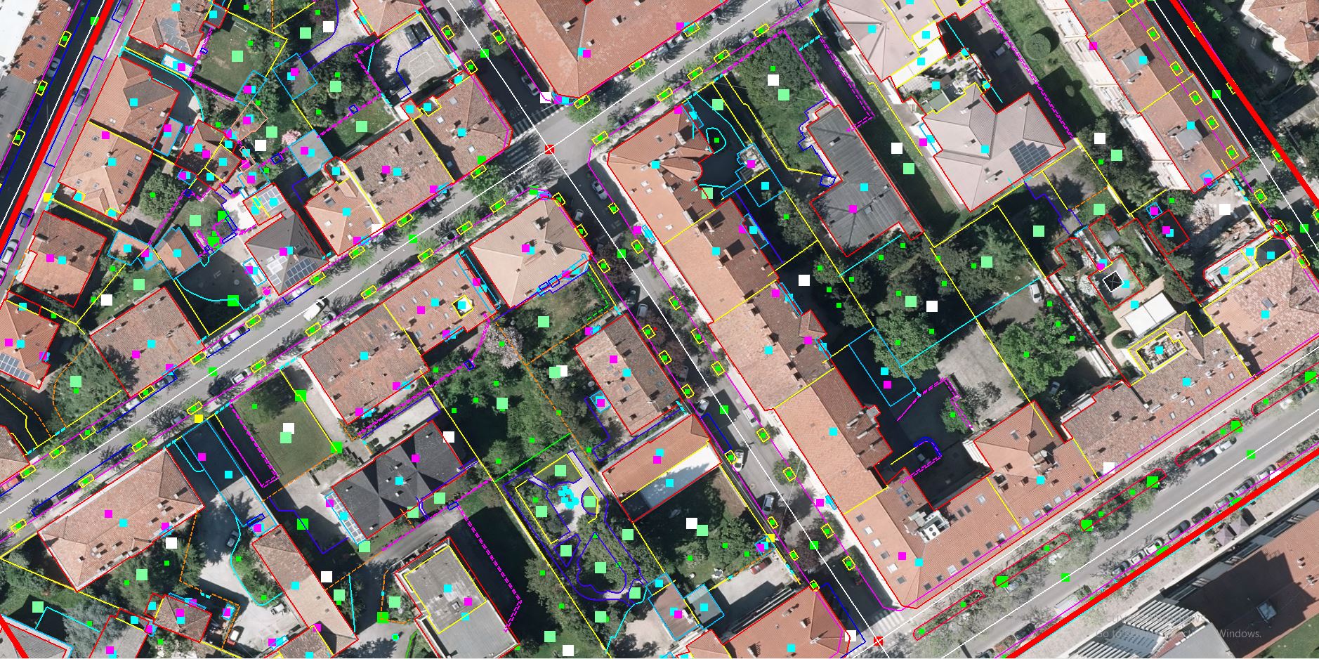
Photogrammetry
Focus has rich experience in providing high-precision imaging, measurements, and planimetric mapping using advanced 3D visualization and data processing. We also work on photogrammetric aerial cameras, satellite Images, and drone data to arrive at high-accuracy spatial data.
- Some of our photogrammetry solutions
- Digital Elevation Modelling.
- Planimetric Collection
- Contour Generation
- Digital Surface Modelling
- 3D City Models
- Aerial Triangulation
- Orthophoto
Reach us out for a free imaging sample or to find what’s best for your project.
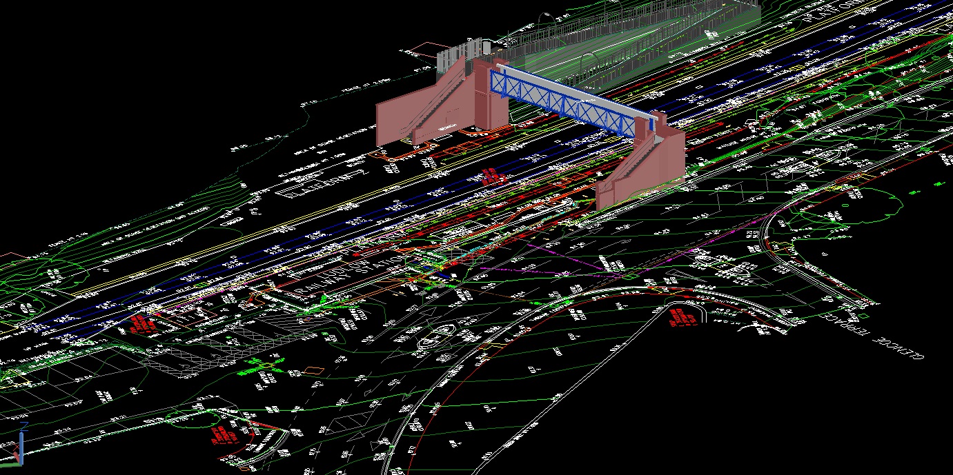
LiDAR
Our skilled operators provide accurate laser-sharp mapping and classification solutions. Focus’s LiDAR services map topographic data with very fine resolutions including 3D polyline, contour, and other planimetric features.
Some of our LiDAR offerings
- Advanced Classification
- Advanced 3D Mapping
- Power Line Classification
- Contours
- Digital Surface Model
- Digital Elevation Model
- Complete topographic Mapping
Reach us out for a free classification or mapping sample to find what’s best for your project.
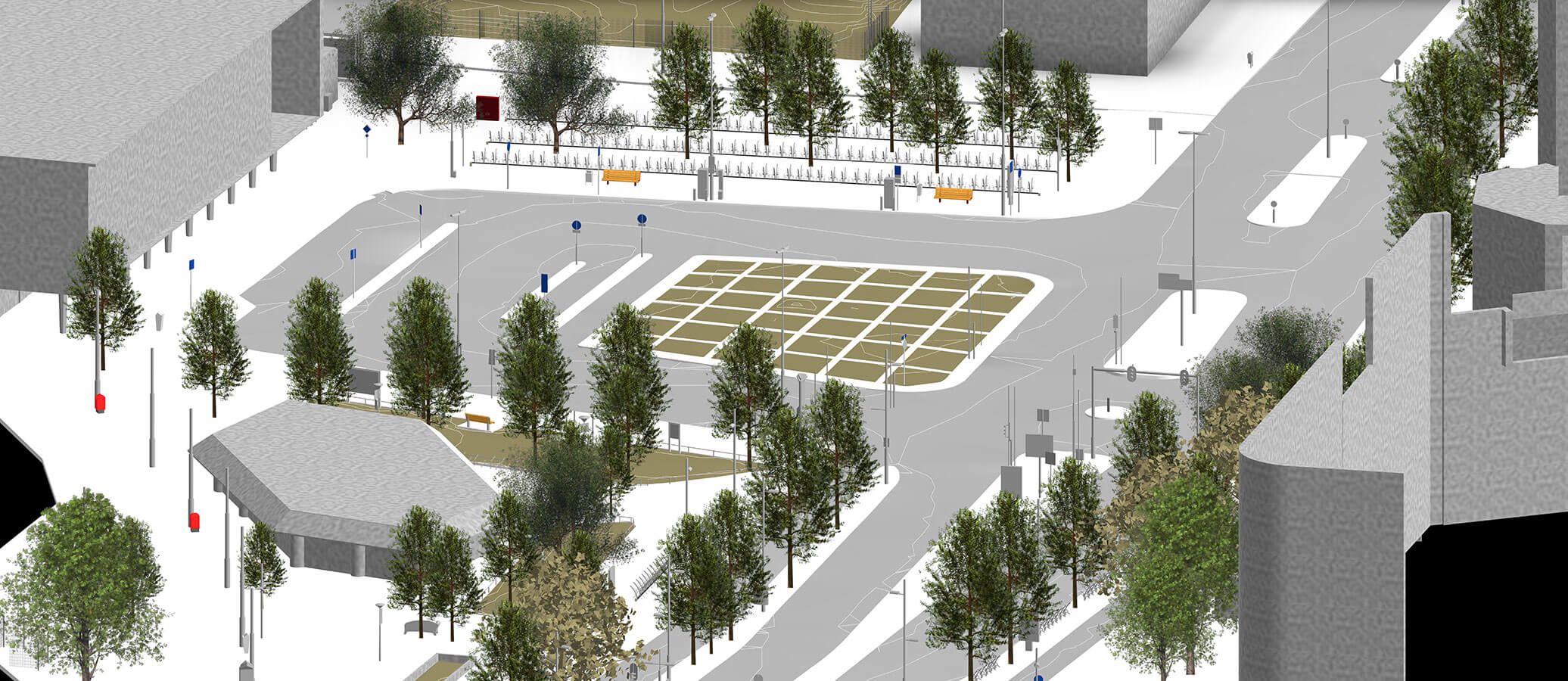
GIS
Focus provides comprehensive GIS Data analysis be it volume calculation or other visual assessments of structures. We also vectorize structures and spaces utilizing location, geographic and descriptive data. Multiple sources of data and acquisition methods can also be integrated to give you the desired output.
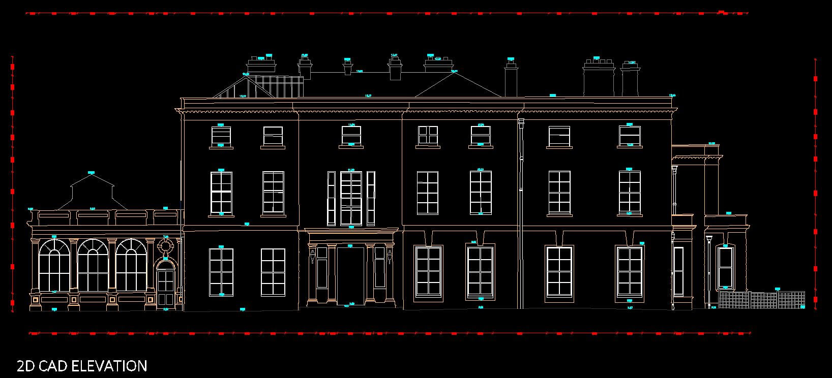
3D Modelling / 2D Drawings (Terrestrial Laser Scan)
Our terrestrial laser scanning services help you visualize the shape and position of all surfaces and objects with high detailing and accuracy. We use cutting-edge technology to create accurate 3D models or 2D drawings from scan or point cloud data. We can also convert point cloud and scan data into details ranging from LOD 100 to 500.
Some applications of our 3D Modelling & 2D Drawing capabilities
- Scan to BIM
- Historical Preventions
- Oil and Gas Plant Platforms
- Mechanical Engineering and Plumbing
- 2D Floor Plans / Elevation / Sections
Reach us out for a free 3D or 2D sample or to find what’s best for your project.