LiDAR

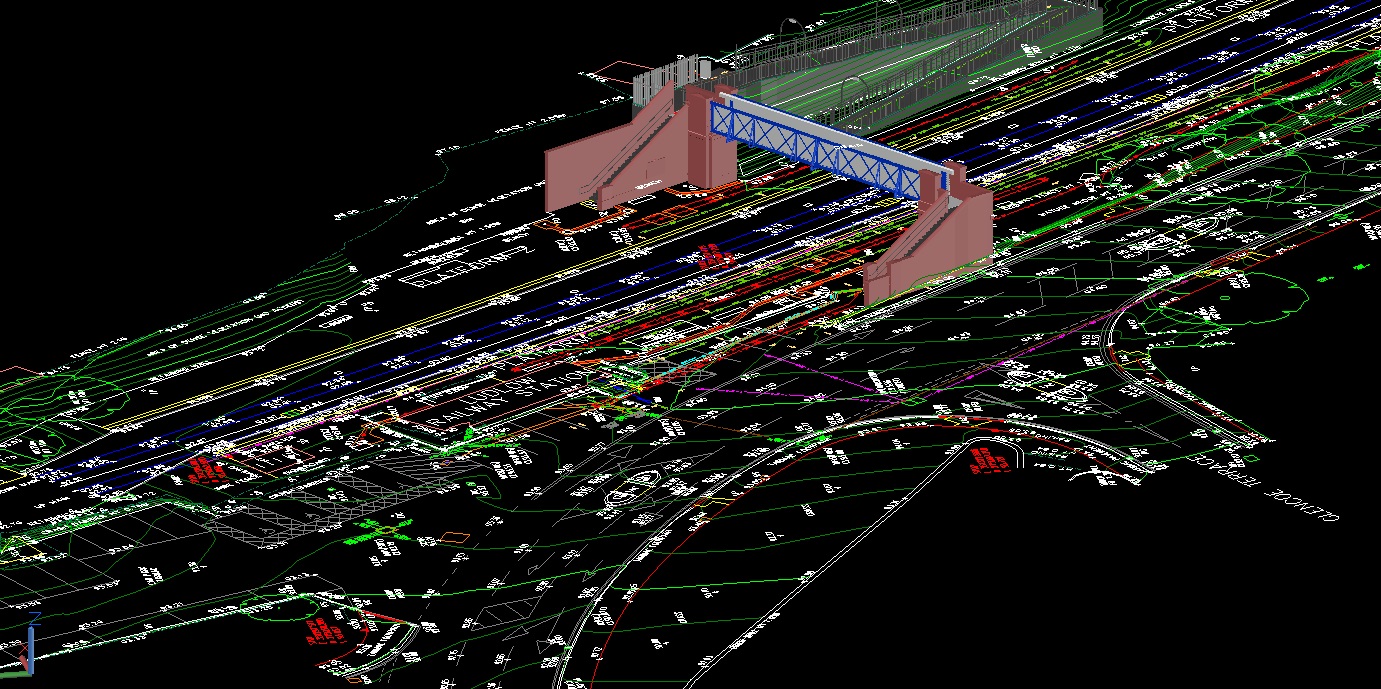
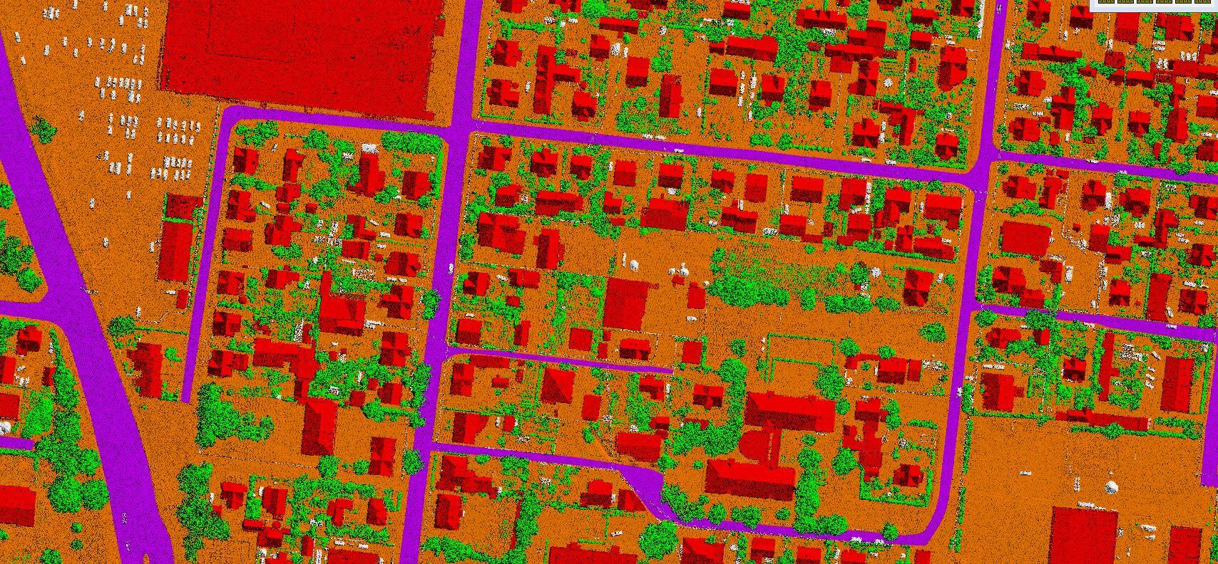
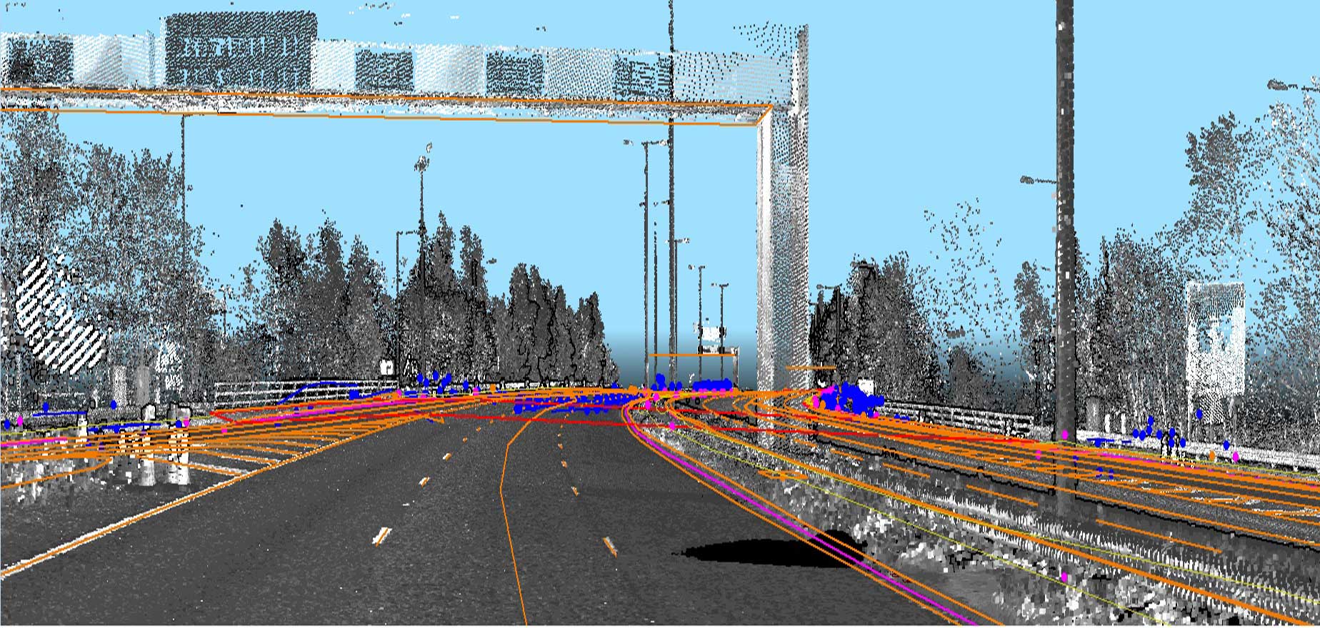
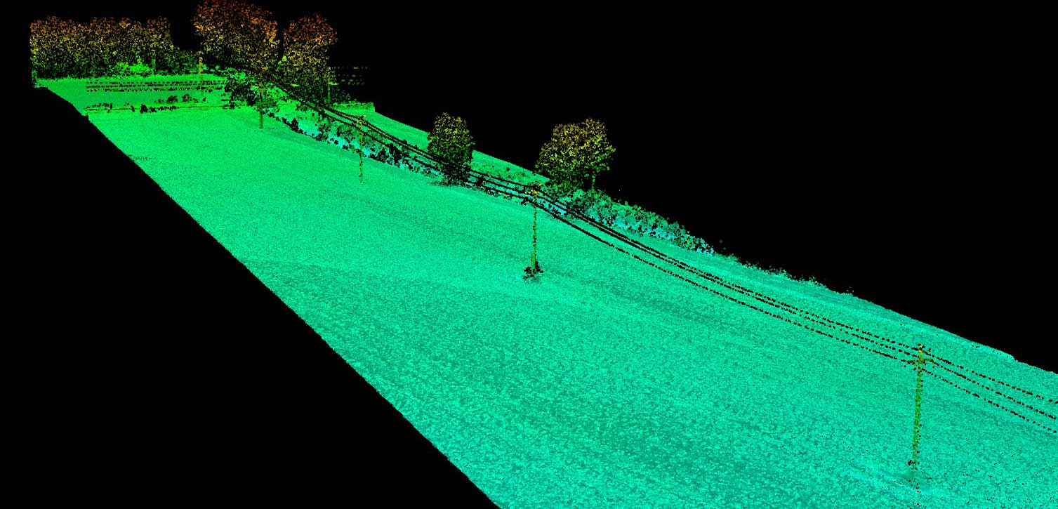
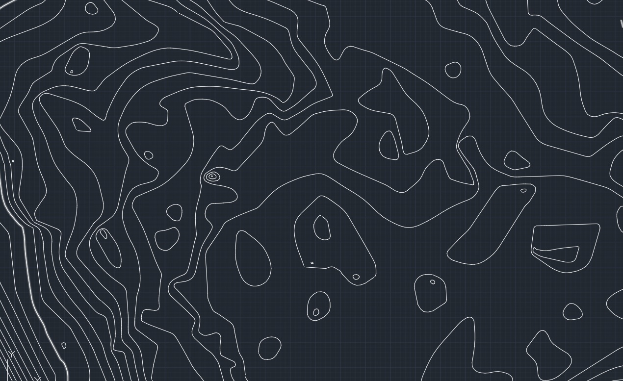
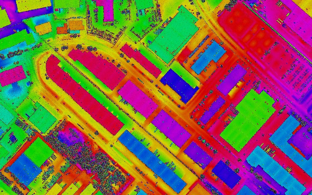
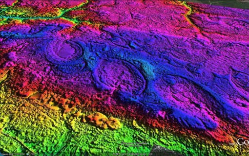
Our skilled operators provide accurate laser-sharp mapping and classification solutions.  Focus’s LiDAR services map topographic data with very fine resolutions including 3D polyline, contour, and other planimetric features.

Some of our LiDAR offerings

  • Advanced Classification
  • Advanced 3D Mapping
  • Power Line Classification
  • Contours
  • Digital Surface Model
  • Digital Elevation Model
  • Complete topographic Mapping

Reach us out for a free classification or mapping sample to find what’s best for your project.

No matter your service requirement, we assure you
LiDAR Services
null

Advanced Classification

Classify LiDAR data with state-of-the-art tools with us. We assure to recreate detailed and point accurate rendering with all elements of interest and importance covered. The service is most sought in mapping, forestry, urban planning, and telecommunication applications.
null

Advanced 3D Mapping

Get stunning, accurate and scalable 3D visualisations, 3D models with Focus’ advanced 3D mapping services. Our expert team will process any surveyed points into accurate 3D data set to create models and map according to your requirement.
null

Power Line Classification

Owing to the increasing demand for powerline corridor mapping rather than conventional techniques, Focus has a dedicated team of experts for making LiDAR classification and vectorization. We deliver highly accurate and reliable mapping, irrespective of the complexity of the terrain.
null

Contours Generation

Generate and position high-precision contours to perfectly visualize elevations using our contour generation services. Using LiDAR points we give seamless Topographic Contour Mapping, Mining Contour Mapping, and Structural Contour Mapping.
null

Digital Surface Model

Don’t miss on any details with our surface modelling. Earth’s heights and natural and man-made objects are starkly noted to provide you models with great precision that will help you create the best actions plans for management, survey, and mitigation.
null

Digital Elevation Model

Capture elevations including all of the earth’s relief to make comprehensive and fail-safe land use planning. We also have capabilities in volumetric calculations and representation of bare-earth surfaces. The modeling technique has been oft demanded in infrastructural project management, soil science, hydrology, and flow-direction studies.
null

Cost-effective prices

Our stringent planning and scheduling ensure there is no time delay. Our teams’ expertise and experience help us cut costs on reworks. This helps us maintain our competitive pricing.
null

Data security

We keep all our equipment and software updated to ensure the best-in-the-industry quality and security. This clubbed with our foolproof cyber hygiene delivers exceptional data security.
null

High quality

Being ISO 9001: 2015 certified we cut no corners in adhering to best practices in maintaining our infrastructure and have only the best among experts working on your projects.

Feel free to contact us for free quote