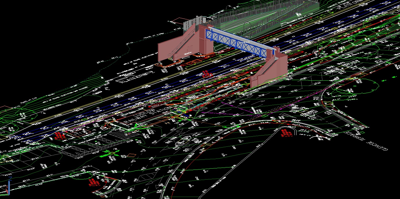
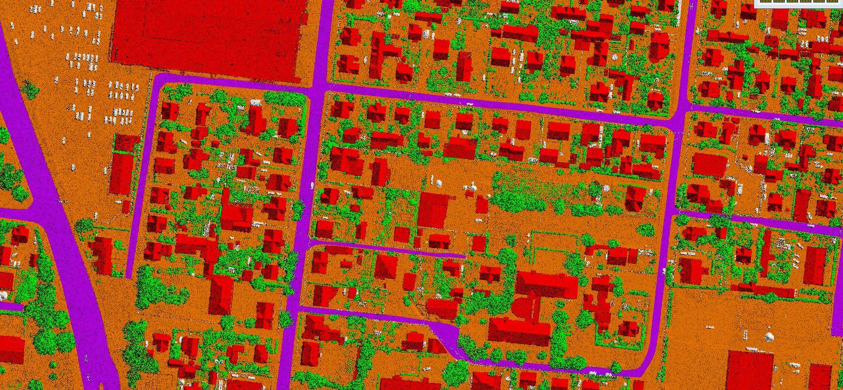
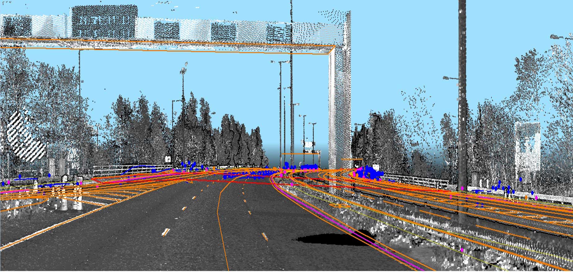
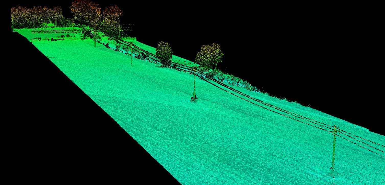
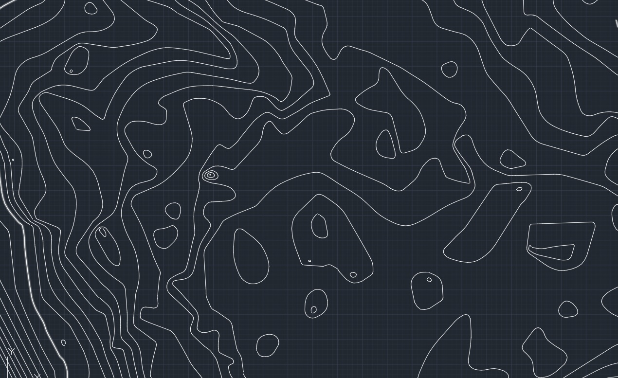
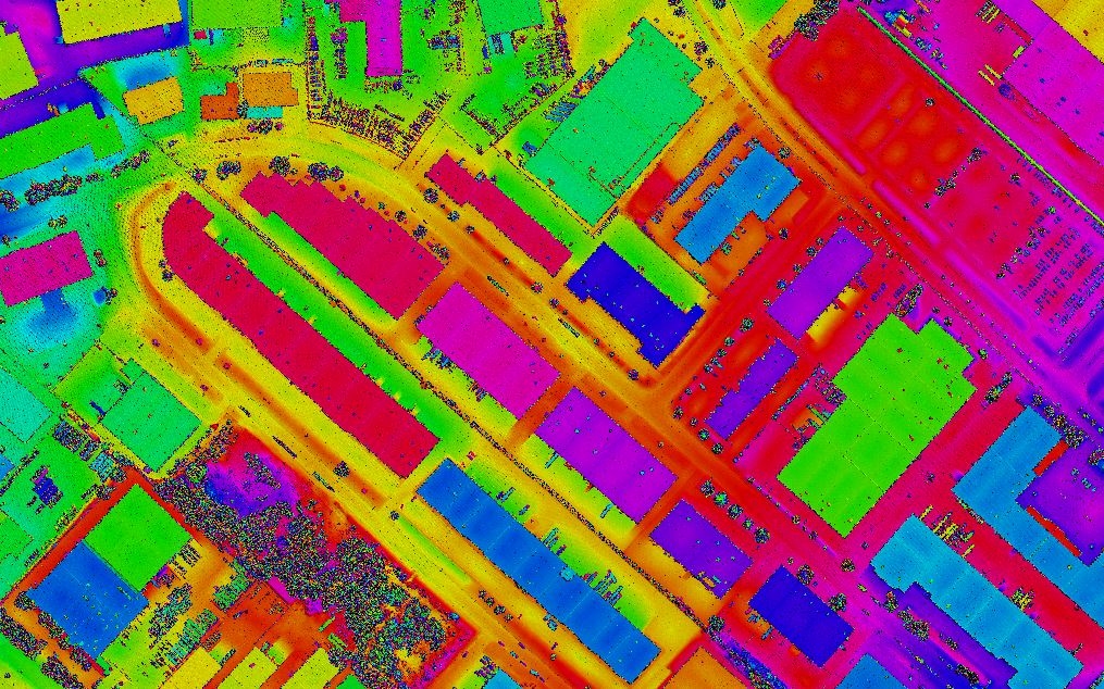
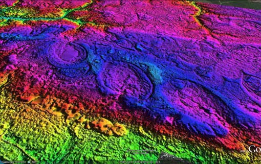
Our skilled operators provide accurate laser-sharp mapping and classification solutions. Focus’s LiDAR services map topographic data with very fine resolutions including 3D polyline, contour, and other planimetric features.
Some of our LiDAR offerings
- Advanced Classification
- Advanced 3D Mapping
- Power Line Classification
- Contours
- Digital Surface Model
- Digital Elevation Model
- Complete topographic Mapping
Reach us out for a free classification or mapping sample to find what’s best for your project.

